
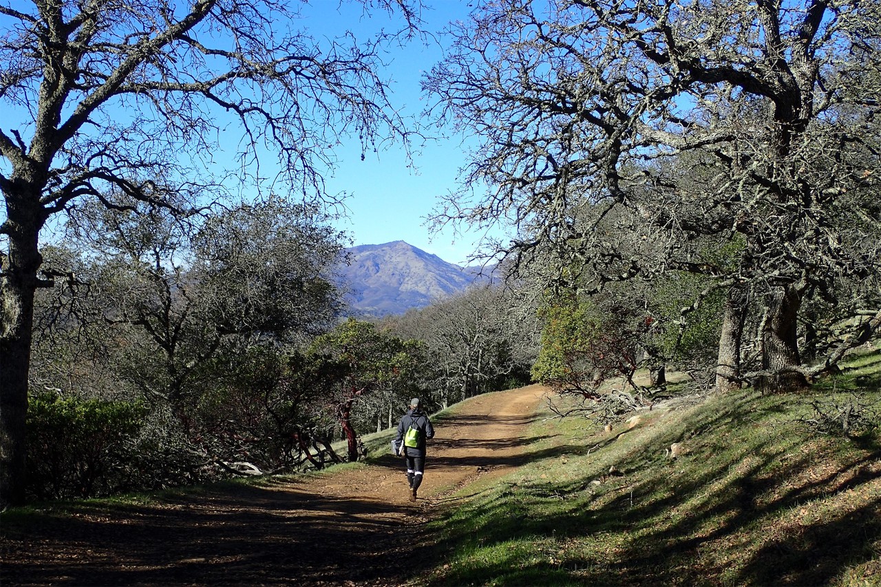
(Click on image for a park scene)
2016 U.S. Individual Championships
Morgan Territory Regional Preserve and Mills College
Date: Mar. 18 - 20, 2016
Location: Livermore and Oakland, CA
Event Director: ![]() - 650.281.5280
- 650.281.5280
Course Setters: Graham Brew, Christine Brew, Steve Harrison
Type: A; This event will have Middle, Long, and Sprint events on consecutive days
Related Event Information
Start Times (https://www.orienteeringusa.org/eventregister/a40/reglist/home/2016-us-ind-champs) Event Director's Notes Event Announcement Page Volunteer Sign-Up (https://docs.google.com/spreadsheets/d/1ab3yecU8so0c0JmxirmSIUBZi0Kh_8dwIJLzAPpJFsQ/edit?usp=sharing) Registered People (https://www.orienteeringusa.org/eventregister/a40/reglist/home/2016-us-ind-champs) Attackpoint Page (http://www.attackpoint.org/eventdetail.jsp/event_29297)
Note: A PDF copy of these Notes is available here.
Course Setters' Notes
By Steve Harrison, Graham Brew, and Christine Brew
Be sure to also read the Event Director's Notes, which include more information about getting to the Start area each day, a description of the start procedure, and more.
Terrain
Morgan Territory Regional Preserve is beautiful at this time of year. The hills are green and the creeks are running. There is a good mix of open land and runnable forest, with no shortage of challenging rock features. There seem to be very few stickers in the grass, and running is pleasant under foot. Even with El Niño rains, only the major trails have become muddy at the time of writing. But there are hills—lots of them—so cleats are recommended for advanced courses (i.e., Brown through Blue).
White forest is open and fast. Light and medium green are usually passable, but watch out for poison oak, which is common in many areas. Dark green is often thick manzanita or very dense poison oak, and is to be avoided.
Cattle paths can be a significant feature, and can change quite quickly with time, depending on grazing patterns and weather. The most pronounced are mapped, but not all.
The recent drought has caused numerous large trees to fall, and not all recent downed trees are mapped. Whereas some older downed trees that are mapped with a green × might be significantly degraded. Hence, caution should be employed when using downed trees for navigation. We have mostly avoided them as control features. Note that the green × symbol is used to denote both fallen trees and standing dead trees. Open green circles denote distinct live trees.
Rock features are widespread. Distinction is made between stony ground (average height roughly < 1 meter) and boulder fields (average height > 1 meter). The heights of distinct boulders used for control locations are typically given for the side that the control is on (boulder height may vary depending on which side the height is measured at).
Hazards
Poison oak is present and, in some places, abundant. It grows as bushes, vines, and as individual sticks. By late March it will have green shiny leaves, arranged in groups of three. We have tried to avoid the major growth areas, but there is still some close to control locations and along some routes, so beware.
Fences are barbed wire. Some of these are old and unstable; so passing below, rather than over, is highly recommend for safety (and to limit damage to the fence).
Ticks might be present in March, so check your clothing and skin after you return from your course.
Cattle are frequently widespread, but are also frequently moved, so their location is difficult to predict. You may find them on any of the courses, including the beginner courses. They appear universally docile, and typically relocate (sometimes slowly, sometimes more quickly) when approached.
Coyotes, wild turkey, deer, wild pigs, and other large fauna are not at all uncommon, but are unlikely to be a significant hazard. Non-orienteering humans and (often unleashed) canine companions can range from common to very sparse—depending almost entirely on the prevailing weather.
The weather in March in California can be unpredictable, so be prepared for sun, wind, and/or rain.
Middle-Distance Courses (Friday)
The course details are as follows:
    Course       Length      Climb    Controls
    White        2.1 km       70 m       11
    Yellow       2.5 km       90 m       14
    Orange       3.3 km      155 m       14
    Brown-Y      2.4 km      120 m        9
    Brown-X      3.1 km      140 m       13
    Green-Y      3.2 km      165 m       14
    Green-X      3.5 km      175 m       16
    Red          4.4 km      225 m       19
    Blue         4.8 km      270 m       22
The expected winning times (for a 100-point runner) are as follows:
- Brown to Red (except F−21+): 25–35 minutes (*)
- F−21+ and Blue: 30–40 minutes
- (*) For Brown and Green, the X and Y courses should both be covered by this range.
For the Middle courses, we have chosen terrain that is technically challenging, with many rock features, and relatively less climb. The map scale is 1:10,000, except for both Brown courses, which are at 1:7,500. All the courses have a 5-meter contour interval.
Note that there are two Start locations:
- The Start for the White, Yellow, Brown-X, Brown-Y, Green-X, and Green-Y courses is located approximately 1500-meters walk, slightly uphill, from the Assembly area. Please allow 25 minutes to get to this Start location from the Assembly area.
- The Start for the Orange, Red, and Blue courses is located about 700-meters walk, and 50 meters above, the Assembly area. Please allow 15 minutes to get to this Start location from the Assembly area.
There is a relatively short walk from the Finish to the Assembly area.
Carefully check control numbers before you punch. There will be a high density of controls in some areas of the map.
There will be a clothing return—items left at the Start will be shuttled back to the Assembly area (but please minimize the amount of stuff you take to your Start).
Long-Distance Courses (Saturday)
Here are the course details:
    Course       Length      Climb    Controls
    White        2.5 km       80 m        7
    Yellow       3.4 km      195 m       10
    Orange       4.7 km      275 m       10
    Brown-Y      4.3 km      205 m        9
    Brown-X      4.4 km      250 m        9
    Green-Y      5.3 km      340 m       10
    Green-X      6.6 km      355 m       13
    Red          8.3 km      440 m       16
    Blue        10.3 km      525 m       20
The expected winning times (for a 100-point runner) are as follows:
- Brown: 45–55 minutes (*)
- Green: 50–65 minutes (*)
- Red: 70–90 minutes
- Blue: 80–100 minutes
- (*) For Brown and Green, the X and Y courses should both be covered by these ranges.
The map scale is 1:15,000 for the F−21+ (Red) and M−21+ (Blue) classes. Both Brown courses have the scale 1:7,500. All other classes have a 1:10,000 map. The contour interval is 5 meters for all classes.
The Start for all courses will be accessed by shuttle. The shuttle ride, starting from the Assembly area, will be 2 miles on a narrow road, and will take about 10 minutes. The Start is located 1500 meters from the shuttle drop-off. The walk to the Start has 100 meters of elevation gain. Please allow at least 45 minutes to reach the Start from the Assembly area.
The Finish is located 900 meters from the Assembly area.
There will be a clothing return to the Finish location—not to the Assembly area (again, please minimize the amount of stuff you take to the Start).
Sprint Courses (Sunday)
Course details:
    Course       Length      Climb    Controls
    White        1.4 km       35 m       17
    Yellow       1.8 km       40 m       18
    Orange       2.1 km       55 m       18
    Brown        1.9 km       50 m       14
    Green        2.3 km       45 m       16
    Red          2.8 km       55 m       15
    Blue         3.1 km       60 m       19
The expected winning times (for a 100-point runner) are 12–15 minutes for all the courses.
Sunday's Sprint is set in an urban college campus. Spanish revival architecture mixed with contemporary buildings, open space, and some forest areas make for a fun-filled map.
Vehicular and pedestrian traffic is light (especially on the weekend). But please use caution when crossing roads, and be aware of other campus users, who might not know that a sporting event is taking place.
All the courses share a common Start and a common Finish, both a short walk from the Assembly area.
All the maps have a scale of 1:4,000 with 2.5-meter contours.
There is a prominent stream running north to south through the campus. Participants are permitted to cross this stream only on bridges and walkways. Consequently the stream is marked as out of bounds with red cross-hatching on the map: As a stipulation of access to this venue, it is very important that this out-of-bounds be respected. (Also see Forbidden to Cross! below.)
In other parts of the map, the courses may come close to the edge of the mapped area. All areas outside the mapped area are considered out of bounds, and are marked as such in the most prominent parts. Please also respect the "area with forbidden access" described below.
A black dotted line on this map represents an elevated walkway/passage.
Forbidden to Cross! (Mills College)
The map for the U.S. Sprint Championships uses the International Specification for Sprint Orienteering Maps (ISSOM). This set of symbols contains a number of symbols not used on "regular" orienteering maps (which follow the ISOM standard); in addition, some symbols that are familiar from regular orienteering maps have different meanings on a Sprint map. As an example of the latter, a solid black line on a regular orienteering map represents a road, but on a sprint map it represents an impassable wall. If you are not familiar with ISSOM, you can look it up on the web.
Particular attention should be paid to the fact that when a symbol on an ISSOM map describes an object as "impassable", then you are forbidden to cross the object represented by that symbol. For instance, if you come to an "impassable" fence and think you can climb over it, you are not allowed to do that; if there's a small hole in the fence and you think you can squeeze through it, you are not allowed to do that. Crossing an "impassable" object is grounds for disqualification. This page is intended to help you avoid breaking the rules unintentionally.
Here are some examples of impassable objects on an ISSOM map:
- Impassable fence.
- Impassable wall.
- Impassable body of water.
- There is a small pond on the Mills College map that is mapped as impassable. You are not allowed to go through this pond. (It's hard to see why you'd want to anyway.)
- Impassable vegetation.
- This is a very dark shade of green, darker even than "fight". If you come to a hedge row that is mapped with this very dark green, and you think you see a way to slip through, you are not allowed to do that.
- Area with forbidden access.
- These are generally areas that the landowner does not want people entering. Such areas are mapped as olive green. At Mills College, there is considerable olive green on the map. These areas can be flowers, shrubs, small trees, ivy-covered patches, chip-covered patches, or other sorts of landscaping.
- What's dangerous for you as a competitor is that it is often easy physically to get through these areas, but you must be very careful not to enter them. If you are in doubt about whether you can cross a given patch of vegetation, make sure you take a really careful look at the map, or just play it safe and use an adjacent path, sidewalk, street or stairway.
- Note, too, that you are not allowed to jump over an area mapped as olive green. On the Mills College map there are places where there is a thin strip of olive green between a sidewalk and a road; you might be tempted to jump over such a strip, but that is grounds for disqualification. You must go around to a place where the map indicates you are allowed to go.
Why are we making such a fuss over this? For one thing, we are allowed to use a venue like Mills College by the good graces of the owners of the venue—it is imperative that we respect their property. Secondly, it is blatantly unfair if most competitors know and respect the rules while others, even unknowingly, take illegal short cuts. And, of course, you don't want to get yourself disqualified.
Mills College is a fun map to run on. Part of the challenge is choosing routes so that you don't get blocked by impassable objects. Know the rules, be respectful of our hosts' property, and go out there and have a blast!